DaGonz
Eats Squid
yup! and (in theory) come collect my bike should I get eaten by a bear or crocodile or something...Nice. So will we be able to track you on your Canberra trip?
Cheers
Spoonie
yup! and (in theory) come collect my bike should I get eaten by a bear or crocodile or something...Nice. So will we be able to track you on your Canberra trip?
Haha, the poor bastard, I've heard more coherent drunksSome how relate to how he feels")
Yeah... I'm somewhat hoping for a "mild" week. I've bought a Western Mountaineering Summerlite bag, which despite the name is quite a warm bag (0deg). at a claimed 525grams total weight too... By the time you wear everything you have on top of that ( I bought a down vest and have some HH polypro thermals too), I hope to push it to the low negatives ok. Tested it at the 12hr overnight and it went ok despite ice forming on the cars, so we'll see...What sleeping bag are you using? I'd have thought it would get mighty cold doing the CAN-NEWC trip in September.
Doesn't sound like many people choose to ride the BNT by bike...see here spoonSpoonie - wondering if we can now justify a BikePacking subforum
Well, my guide books arrived yesterday, I also had a good long chat with one of the BNT co-ordinators for ACT/NSW. Sounds like riding up the BNT at the moment is a bit patchy but would seem from Kozzi up to Aberdeen certainly not a problem.
Anyway, Guide Books 9 & 10 at least ( the latest revs ) are pretty good. They're a A5 format ring bounded book in 20-30km sections. On one side is a topo, the other cue sheets for both N-S and S-N travel. If you're planning on riding the BNT it's worth speaking to the various co-ordinators I think. Seems like there's constant issues they're battling with various sections...
Doesn't sound like many people choose to ride the BNT by bike...
Don't think I'll be on that list somehowConcerning those who have ridden the BNT on MTBs, their names and the sections that they have ridden, have been published in the August 2010 issue of the BNT Tracks magazine..
(don't think I've got my copy either, maybe the one I got in my membership pack... )

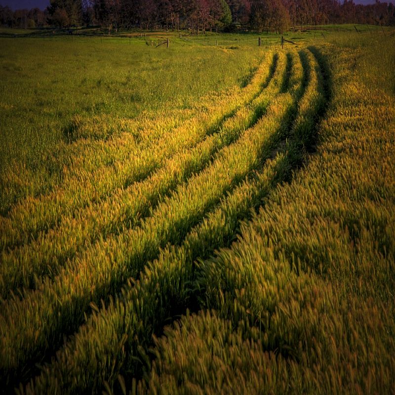
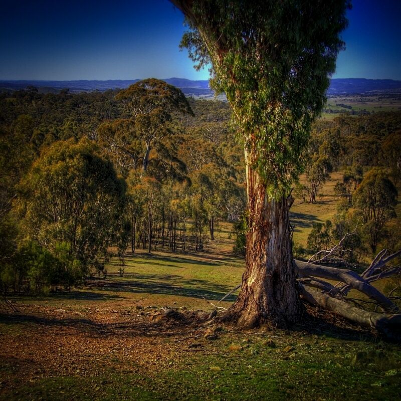
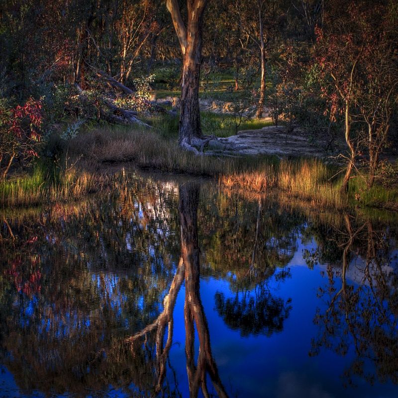

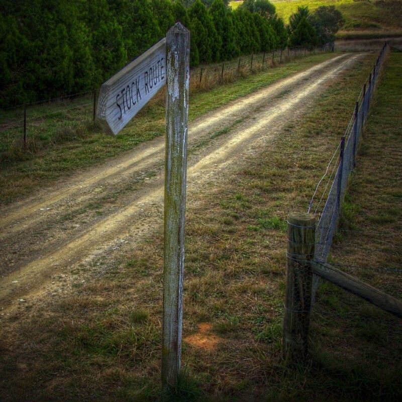

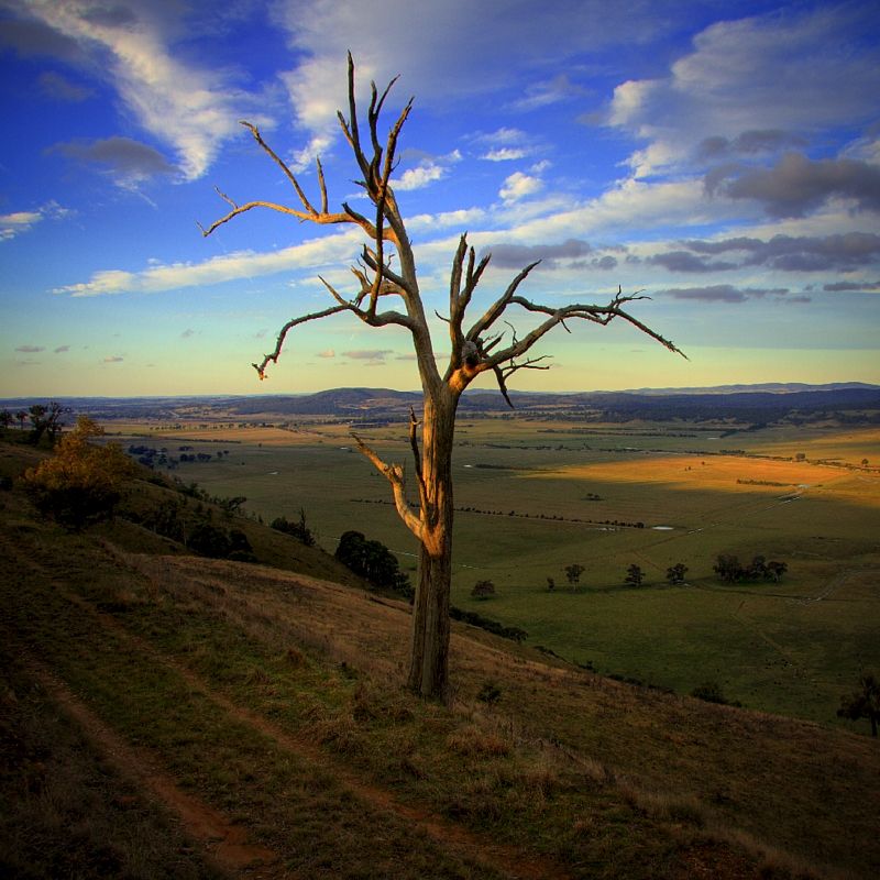
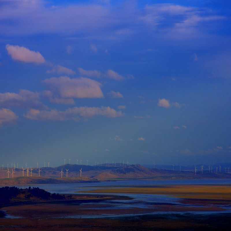


Truly awesome pictures Warren. Some very beautiful countryside.
Yeah much better than mine:amazing, that has definitely fueled my desire to do some bikepacking.
It would be between 2 and 5 days depending on fitness levels, weather and motivations. Plenty of small town diversions, pubs, alternate routes and other attractions that would be worthwhile too... Or probably more likely, got lost, wasn't sure of the turnYour link is fantastic ... extremely cool. I could even see where you left the track for water.
Yeah I'll put together a more formal email at some point I think. I'd like to see that section with reasonable MTB alternates grow a bit. For the most part, it was all really accessible and straight forward though.I'll also pass your comments and your posts and links to the other regional coordinators who are all pack-horse people.
Yeah I worked that outOn Google Earth the turnoff at the gate North of Mead Hill says Kelgoola but is actually Inglewood. Kelgoola is 3 kilometres futher East of Inglewood between Native Dog Hill and the Bin Ben Pinnacle. Google Earth has lots of issues, which I find most interesting.
also I found a lot of topo's don't even match reality anymore. Disconcerting when you're looking for minor turnoffs that seem to have vanished, or new ones created.You were right about it being nice. not sure I'd go out of my way to do it again, or at least I'd look more closely at the higher grained maps. I found some sections confusing, and some just not worth it. the Development around Dunlop and Casey etc... impinged progress somewhat with quite a few w.t.f moments (there are two Horse Park Drives, or the current one doesn't join up yet!)I'm pleased that you rode the BNT on the western and NW fringes of Canberra. Most advice is to take the cycle paths to cross the city. I hope you found it an interesting section, for this edge of suburbia?
Yeah I had a quiter time of it. I can imagine it being pretty hectic thoughNo joke, it took me half an hour to cross the highway, both sides of the Hume were totally psycho. I should have put my feet up on the bars and just rolled through the Swamp.
No not really. I considered a couple... I rolled past a couple and decided I should go elsewhere. Water requirements were an issue for me, making sure I camped somewhere with water which most TSR's did not. I spoke to the LHPA guys before hand though. The one I would use in future is possibly the Taralga one. Then again it also has a pubWhen you mentioned camping, I guess the TSRs didn't marry with the distances you travelled each day?
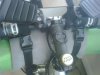
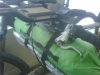
If I was pushing the pace harder, I might consider more. Crashing in a TSR just outside or before a town. I remember the Lerida one though I think 'cause it was on the inside corner of a turn I'm sure... I'm going to get one of these http://www.torpedo7.com.au/products/R7BCCNNBC/title/route-7-bike-carry-bag (for the bus trip to Canberra) and fingers crossed that Santa brings me a Garmin for Xmas and this is exactly what I intend to do.Seriously though folks, that section between canberra and lithgow is incredibly accessible, mostly open dirt roads and realatively straight forward fire trails. There are plenty of opportunities to camp, get water and even hot meals and accommodation every night.
Cheers
Spoonie
Santa, bring me a Garmin!
An important feature. Does it extend to beer & pies? or just coffee?Nah it just tells me where to go for coffee.